The DSM2 tidal model of the Delta channels was used to investigate the feasibility of the Delta Corridors Plan (DC Plan) that would allow the exported water supply to be conveyed from the Sacramento River to the south Delta pumps using the existing Delta channel network. The entire San Joaquin River would be diverted into the head of Old River and be separated from the export pumping with a “river bridge” over large culverts at the south end of Victoria canal to allow the San Joaquin River water to flow down Old River to Franks Tract and the San Francisco Estuary. The migrating juvenile Sacramento River fish would be protected with large fish screens at the DCC and at Georgiana Slough.
Tidal gates on Old River at the DMC and on Middle River upstream of Victoria Canal would be operated year-round unless the Vernalis flow is greater than about 10,000 cfs. These tidal gates will allow fish passage during flood-tides, provide upstream circulation for water quality and protect minimum elevations for agricultural diversions, as proposed in the South Delta Improvements Program (SDIP).
The Delta Cross Channel (DCC) would be divided with a concrete wall that will extend down Snodgrass Slough to Deadhorse Cut. The north gate of the DCC will be opened to allow fish passage to Snodgrass Slough and the Mokelumne River channels. A 1,000-feet long and 15-feet high flat-plate wedge-wire fish screen will be constructed along the Sacramento River levee to the Walnut Grove boat dock (Map 8). The south gate of the DCC will be automated to regulate the diversion flows during flood-tide to the fish-screen capacity of 5,000 cfs with a 0.33 ft/sec approach velocity. Another large flat-plate wedge-wire fish screen will be constructed across the upstream end of Georgiana Slough. The fish screens will extend 1,000-feet upstream and 1,000-feet downstream with a capacity of 10,000 cfs with a 0.33 ft/sec approach velocity. These fish screens would be similar to those designed for the BDCP and WaterFix to protect migrating juvenile Sacramento River fish from diversion into the central Delta or south Delta channels.
Results from the initial DSM2 tidal model simulations of the DC Plan identified the changes in tidal elevations and tidal flows and net flows that would likely result from the DC Plan.
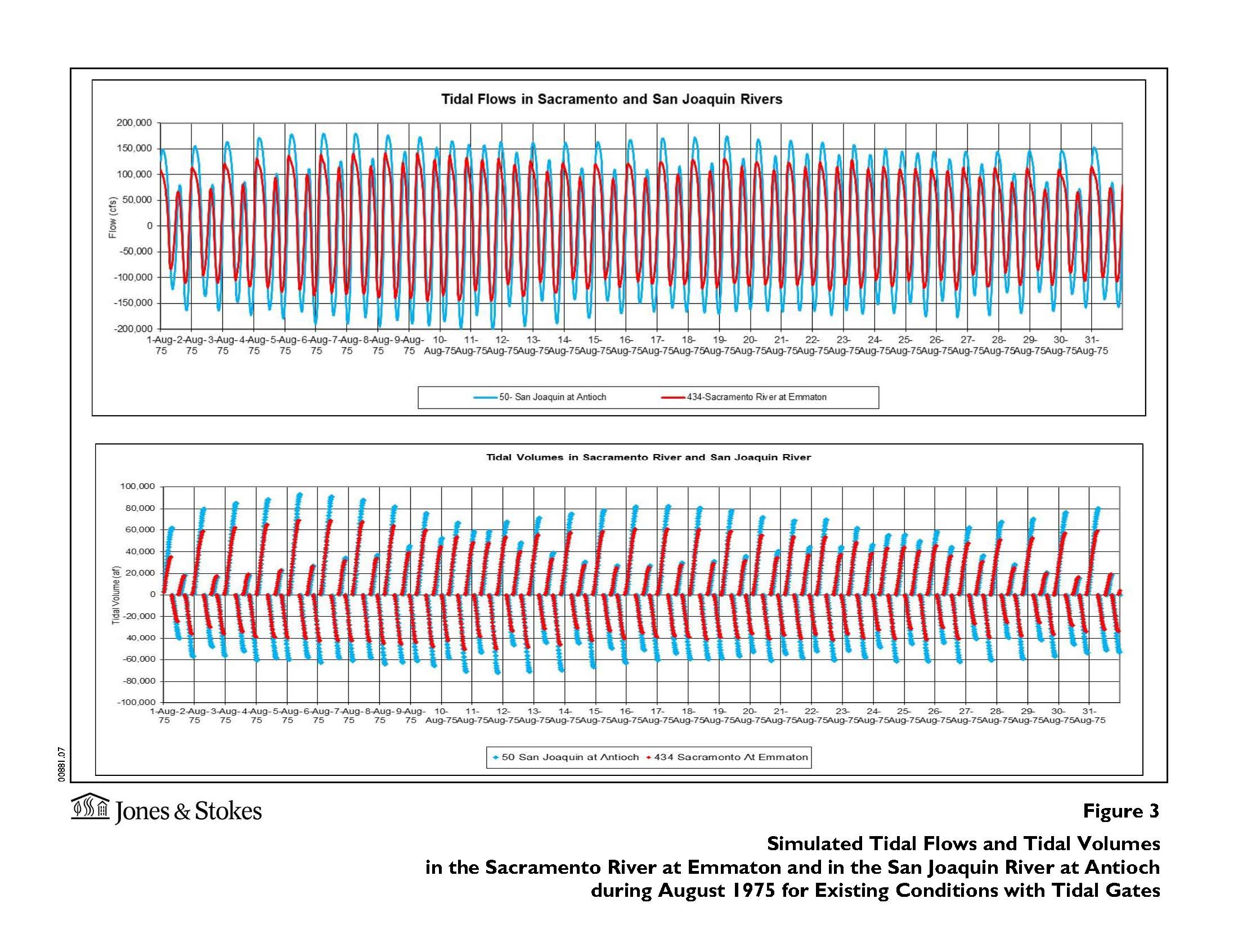
The tidal variations in water elevations and the corresponding tidal flows and velocities in the Delta and the DWR Delta Simulation Model Version 2 (DSM2) are introduced in this appendix from the EIS/EIR for the South Delta Improvements Program that was proposed by DWR and Reclamation in 2006.